July 14
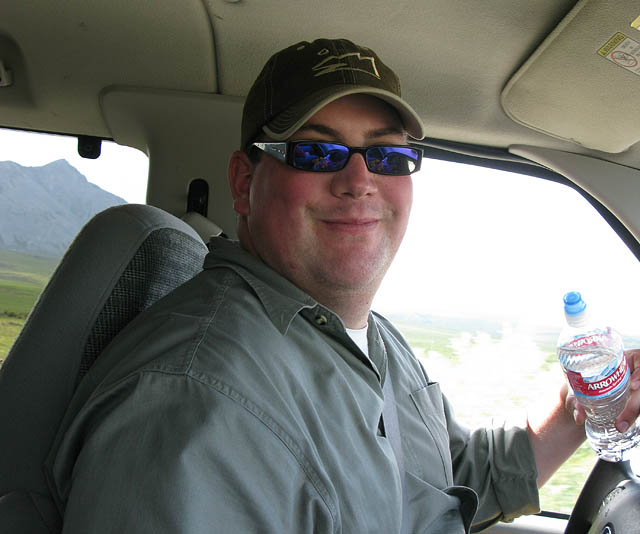
Rob Jordan, our awesome driver and guide from Deadhorse to Fairbanks.
As amazing, fun, and adventurous the trip had been so far this drive would be the coolest part of our time in Alaska. We got to view the change in Alaska's landscape as we followed the Trans-Alaska Pipeline from the Arctic Ocean through the tundra into the Brooks Range into the Alaska Interior all along the Dalton Highway.
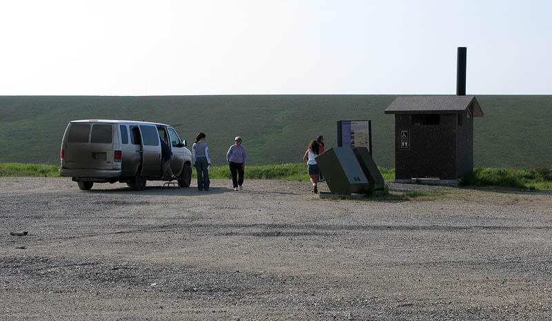
The Last Chance Rest Stop, about 60 miles south from Deadhorse and another 80 miles to the next outhouse.
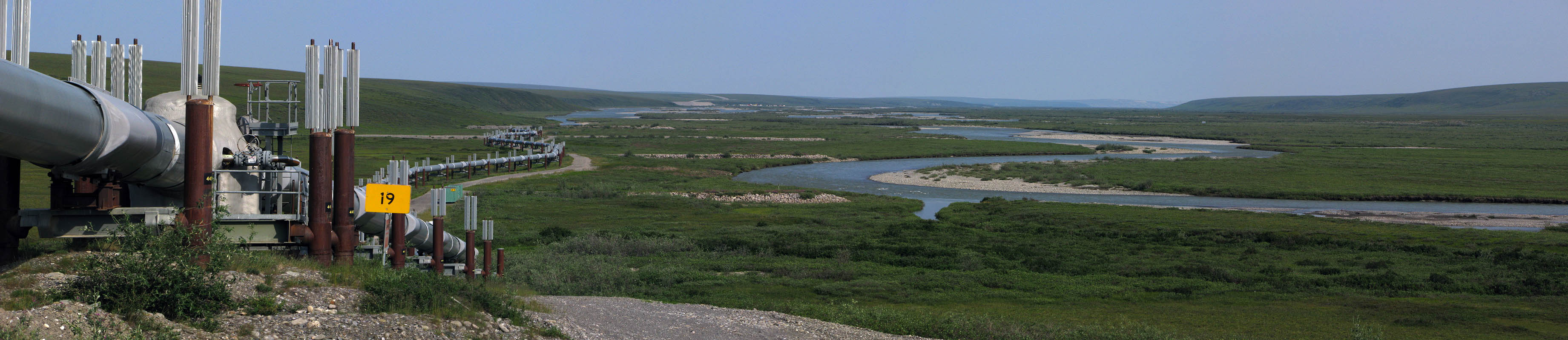
One of our first side trips is to get up close to the Trans-Alaska Pipeline System next to the Sagavanirktok River.

The Trans-Alaska Pipeline System up close
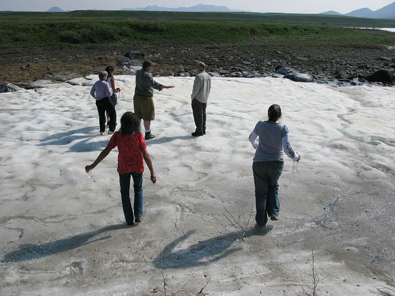
For lunch we headed towards the Sagavanirktok River where this snow/ice patch still remained.
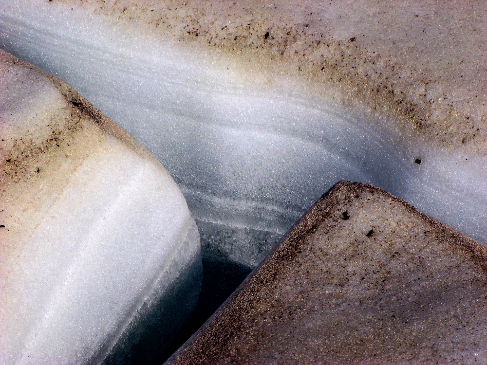
Layers of ice

In some places, the ice crystals aligned vertically as they grew, so fell over like dominos when disturbed.
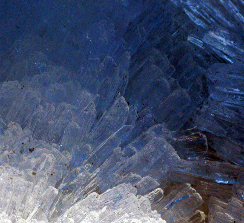
Ice crystals

On the shore of the Sagavanirktok River
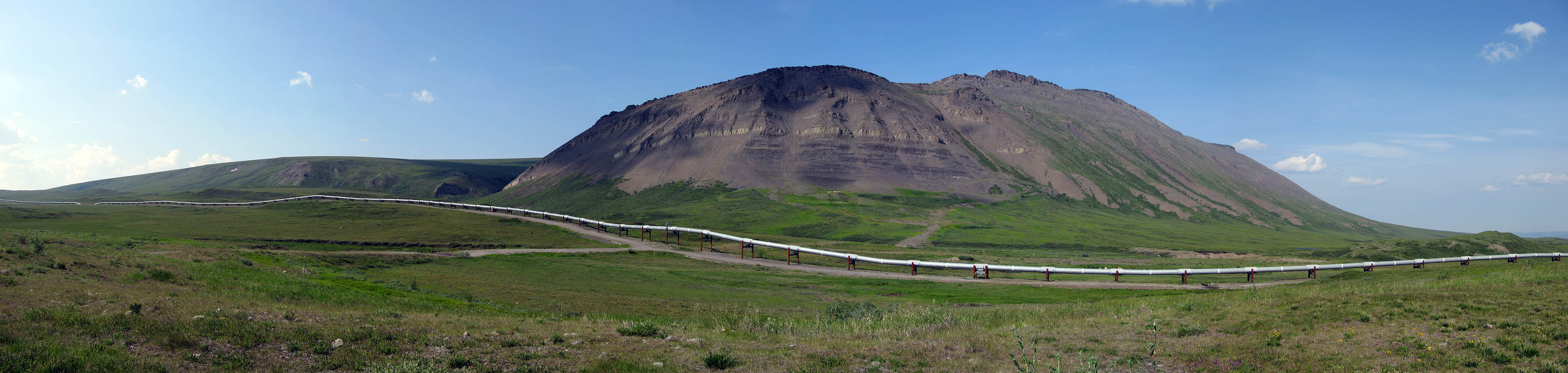
The pipeline near Imnavait Mountain

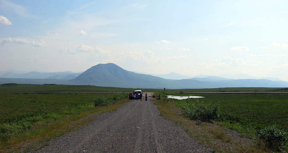
Shortly after lunch we pull over to get a closer look at the geological formations known as pingos, or in this case an "ognip" (a collapsed pingo).
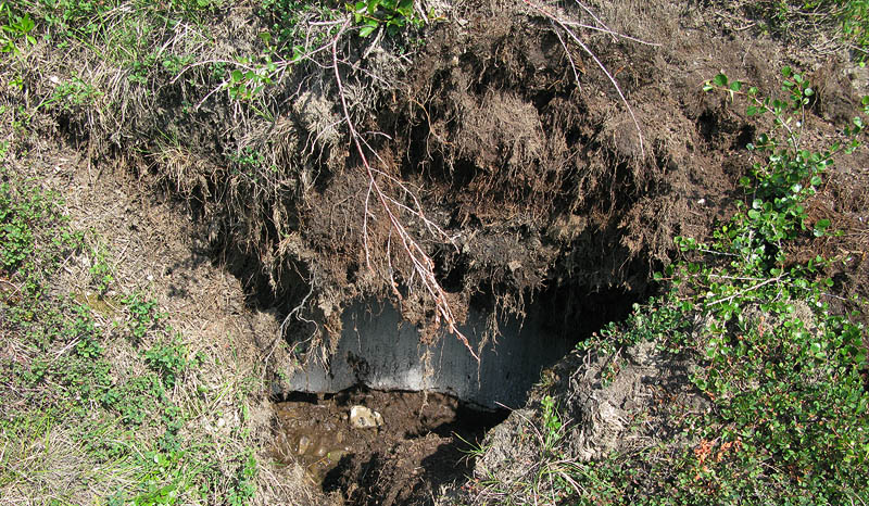
The exposed ice core that resulted in the upheaval of the land is now melting away to form a little pond.
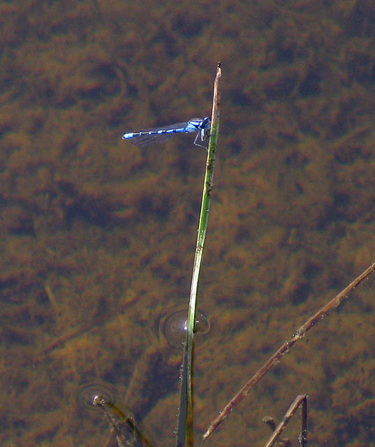
A bluet damselfly
< Deadhorse Camp | Dalton Highway Part Two >